Table of Contents
ToggleThere are two primary methods for booking and reducing levels:
- Rise and Fall Method
- Height of Collimation Method
This article will focus specifically on Height of Collimation Method
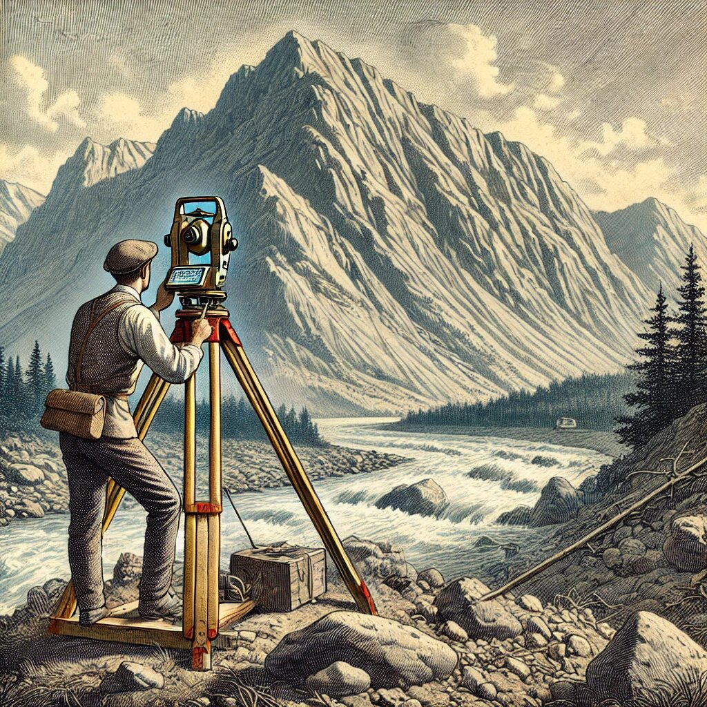
Height of Collimation Method
The Height of Collimation (H.I.) Method, sometimes referred to as the Plane of Collimation Method, is a widely used approach for calculating reduced levels (R.L.) in leveling surveys. This method is particularly useful in various civil engineering applications such as longitudinal leveling, cross-sectional leveling, and contouring, where a rapid and straightforward process is required.
The Height of Instrument (H.I.), also called the plane of collimation, is calculated for each setup. The H.I. is the elevation at which the line of sight passes through the level. Once the H.I. is established, the reduced levels of points in the survey area can be calculated by simply subtracting the intermediate or fore sights (I.S. or F.S.) from the H.I.
Features of the Height of Collimation Method
1. Speed and Simplicity:
One of the primary advantages of the Height of Collimation Method is its speed and simplicity. The process of calculating the H.I. is straightforward, and this height can be reused for calculating the reduced levels of multiple points from a single instrument setup. By eliminating the need to compare successive staff readings, this method reduces the number of calculations and saves time.
- Application: This method is well-suited for large-scale projects where quick results are essential, such as longitudinal leveling for road projects, cross-sectional leveling for canals, and contouring for topographic surveys.
2. Step-by-Step Process:
The method involves the following key steps:
Initial Setup:
- The process starts by calculating the H.I. for the first setup of the instrument. This is done by adding the back sight (B.S.) reading to the reduced level of the benchmark (B.M.).
- Once the H.I. is established, the reduced level of the first station is calculated by subtracting the fore sight (F.S.) from the H.I.
Handling Intermediate Points:
- If intermediate sights (I.S.) are observed, their reduced levels are calculated by subtracting the I.S. from the H.I. for that setup.
Change Points (C.P.):
- When the instrument needs to be moved to a new position, the H.I. for the next setup is established by adding the B.S. taken at the change point to the R.L. of the change point.
- This process is repeated, and the new H.I. is used to calculate the R.L.s of successive points.
Final Reduced Level:
- The reduced level of the final station is determined by subtracting the fore sight of the last point from the H.I. of the last instrument setup.
3. Reduced Calculation Effort:
The Height of Collimation Method requires fewer calculations compared to other methods, such as the Rise and Fall Method. Once the H.I. is determined for a given setup, it remains constant until the instrument is shifted to a new position, and the same H.I. is used for calculating multiple R.L.s.
- Advantage: This reduces the computational burden and the chances of manual errors in calculations.
4. Arithmetic Checks:
Although the method involves fewer calculations, it still includes arithmetic checks to ensure accuracy. The primary check is performed as follows:
ΣB.S.−ΣF.S.=Last R.L.−First R.L.
This arithmetic check ensures that the difference between the total back sights and total fore sights equals the difference between the R.L. of the last station and the R.L. of the first station.
Note: One limitation of this method is that it does not include checks on intermediate sights, meaning errors in intermediate readings may go undetected. Despite this limitation, the method is reliable for many practical purposes where quick results are needed.
5. Best Use Cases:
The Height of Collimation Method is best suited for projects where large amounts of data need to be processed quickly without requiring high precision at every intermediate point. It is especially useful for:
- Longitudinal Leveling: This involves determining the elevation along a continuous line, such as a road, railway, or canal.
- Cross-Sectional Leveling: This method is effective for surveying across the width of features like canals or rivers, where multiple points need to be assessed quickly.
- Contouring: In contouring, rapid calculations of reduced levels are necessary to generate elevation profiles and contours of the land.
6. Limitations
Despite its advantages, the Height of Collimation Method has certain limitations:
- No Check on Intermediate Points: Since there is no inherent check on the R.L.s of intermediate points, errors in those readings cannot be easily detected. This can be problematic in cases where intermediate points are critical to the survey.
- Not Suitable for High Precision Work: In cases where precision is paramount, such as when establishing new benchmarks or determining the difference in levels between two points with high accuracy, this method may not be the best choice. For such work, other methods, like the Rise and Fall Method, may be preferred.
Example Level Book (Height of Collimation Method)
Below is an example of a level field book, illustrating how staff readings are recorded and reduced levels are calculated using the Height of Collimation Method:
| Station | B.S. | I.S. | F.S. | H.I. | R.L. | Remarks |
|---|---|---|---|---|---|---|
| 1 | 0.585 | 100.585 | 100.000 | B.M. | ||
| 2 | 1.855 | 2.955 | 99.485 | 97.630 | C.P. | |
| 3 | 1.265 | 98.220 | ||||
| 4 | 2.925 | 96.560 | ||||
| 5 | 2.350 | 0.350 | 101.485 | 99.135 | C.P. | |
| 6 | 2.855 | 98.630 | ||||
| 7 | 2.685 | 1.655 | 102.515 | 99.830 | C.P. | |
| 8 | 2.435 | 100.080 | B.M. | |||
| Totals | 7.475 | 7.395 |
Arithmetic checks: The difference between the sum of the back sights and the sum of the fore sights should equal the difference between the R.L. of the last station and the R.L. of the first station, i.e.:
Σ B.S. − Σ F.S. = Last R.L. − First R.L.
i.e. 7.475 − 7.395 = 100.080 − 100.000 = 0.080
Differences Between Line of Collimation Method and Rise and Fall Method in Levelling
| Basis of Difference | Line of Collimation Method | Rise and Fall Method |
|---|---|---|
| Speed of Calculation | It is more rapid and saves considerable time and labor as fewer calculations are involved. | It is laborious because the staff readings of each station are compared to determine whether there is a rise or fall. |
| Best Application | Best suited for construction work, particularly longitudinal or cross-sectional leveling operations. | Ideal for determining the precise difference in levels between two points, especially in situations requiring high accuracy. |
| Intermediate Checks | There is no direct check on the reduction of reduced levels (R.L.s) at intermediate stations, which may leave errors undetected. | A complete check is provided on the reduction of R.L.s at intermediate stations, ensuring accuracy. |
| Arithmetic Checks | There are two arithmetic checks: the difference between the sum of the back sights and the sum of the fore sights should equal the difference in R.L.s between the first and last stations. | There are three arithmetic checks: (1) The sum of back sights minus the sum of fore sights, (2) the sum of rises minus the sum of falls, and (3) the difference between the R.L. of the first and last stations should all match. |
| Error Detection | Errors in intermediate sights are not detected due to the lack of checks on these points. | Errors in intermediate sights are detected since each station is used for calculating rises or falls, ensuring that all readings are correlated. |
| Field Suitability | It is suitable for longitudinal leveling, cross-sectional leveling, and contouring where fewer intermediate checks are necessary. | Best for applications where high precision is required, such as fly leveling or setting up new benchmarks. |
| Ease of Use | Relatively simple to use, especially for large-scale construction projects requiring quick leveling. | Requires more detailed calculations, making it more time-consuming but providing higher precision. |
| Type of Terrain | Works well for smooth, gradual terrain where changes in elevation are less frequent. | Useful for uneven or undulating terrain, where more frequent changes in elevation need to be captured accurately. |
Summary: The Line of Collimation Method is faster and easier to use, making it ideal for general construction leveling, while the Rise and Fall Method, though slower, provides higher accuracy and complete checks, making it more suited for tasks requiring precision, such as establishing benchmarks.