Table of Contents
ToggleLaser scanning surveys have revolutionized the fields of construction and surveying, offering a level of precision and efficiency that traditional methods can’t match. This advanced technology uses laser beams to capture vast amounts of spatial data, creating detailed, 3D models of landscapes, structures, and infrastructure with unparalleled accuracy. The data, stored in what’s known as a “point cloud,” provides a complete digital representation of a physical space, allowing engineers and surveyors to analyze, measure, and document features without direct contact. From complex construction projects to environmental monitoring, laser scanning survey techniques are becoming indispensable across the industry.
In construction, laser scanning helps streamline planning, progress tracking, and quality control, reducing the potential for costly errors and rework. Surveying applications range from mapping large transportation networks to assessing intricate architectural details. Emerging methods, like UAV (drone)-borne scanning, allow surveyors to access challenging or hazardous areas safely and efficiently, while mobile laser scanning offers rapid, accurate data collection over extensive areas. Together, these advancements make laser scanning survey technology a vital tool for increasing accuracy, ensuring safety, and optimizing project timelines in modern construction and surveying.
What is Laser Scanning Survey?
Laser scanning survey is a cutting-edge technology that captures detailed 3D data of physical spaces and objects. It works by emitting laser beams from a scanner that measures the distance to surfaces within its range by recording the time it takes for each beam to reflect back. These distances are then used to generate a dense collection of points, known as a “point cloud,” which collectively forms a highly accurate 3D model of the surveyed area. Advanced laser scanners can capture millions of points within seconds, covering entire landscapes, building interiors, or infrastructure systems with precision down to the millimeter.
In construction and surveying, laser scanning is particularly valuable because it allows professionals to capture accurate, up-to-date data on complex environments, minimizing the need for physical access and manual measurement. This capability not only increases safety, especially in hazardous areas, but also enhances the speed and accuracy of projects. With laser scanning, surveyors can gather comprehensive information in a fraction of the time, making it ideal for applications like monitoring construction progress, conducting structural assessments, and creating as-built documentation. This level of detail is essential for avoiding costly errors and rework, optimizing workflows, and supporting the creation of precise, data-driven project plans.
Types of Laser Scanning Survey
There are several primary types of laser scanning survey techniques used in surveying and construction, each suited to different applications and project needs. The three main types are terrestrial laser scanning, mobile laser scanning, and UAV-borne (drone) laser scanning. These techniques offer a range of options for surveying various environments, from detailed structural inspections to large-scale infrastructure mapping.
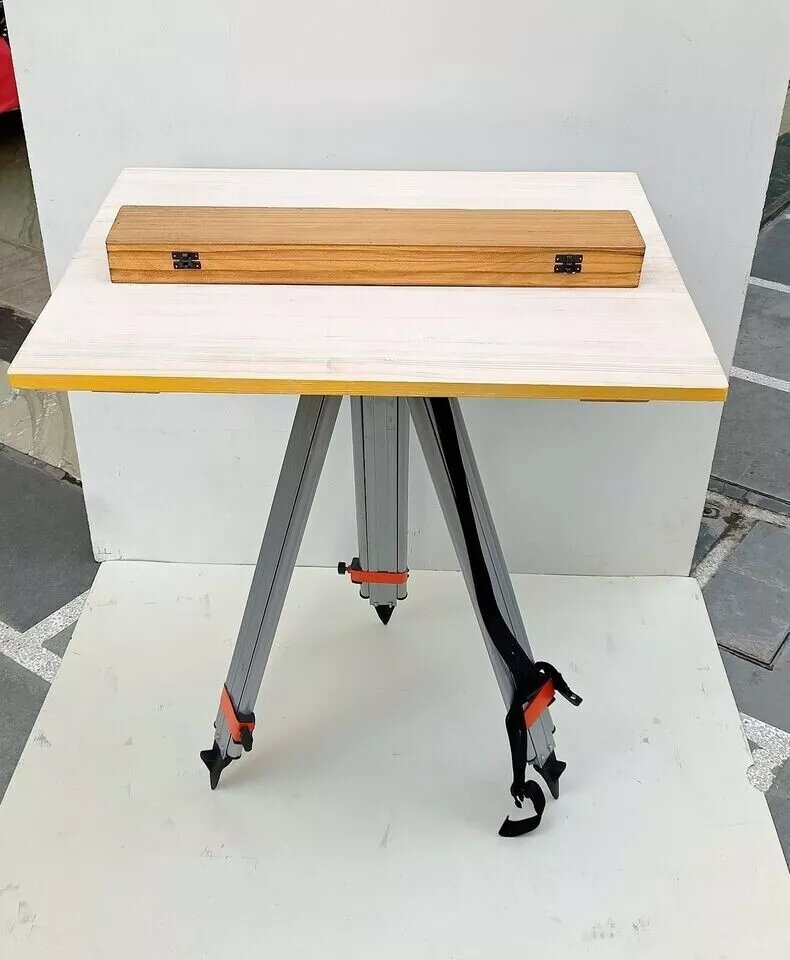
1. Terrestrial Laser Scanning (TLS)
Terrestrial Laser Scanning, or TLS, involves placing a stationary laser scanner on the ground to capture precise measurements of surrounding objects and landscapes. This type of scanning is ideal for projects requiring high levels of detail, such as documenting architectural features, assessing structural integrity, and creating digital twins of buildings. TLS is also used extensively for monitoring shifts and deformations in structures over time, making it valuable for projects like bridge inspections and historical preservation.
2. Mobile Laser Scanning (MLS)
Mobile Laser Scanning (MLS) mounts laser scanners on moving vehicles, such as cars or boats, enabling rapid data collection over long distances. This method is particularly effective for mapping transportation routes, highways, and urban areas. MLS allows surveyors to scan large areas efficiently while maintaining accuracy, which is essential for roadway assessments, railway monitoring, and urban planning projects. As the vehicle moves along its route, the scanner collects continuous data, capturing a seamless 3D model of the surveyed environment.
3. UAV-Borne Laser Scanning
UAV-Borne Laser Scanning, or drone-based scanning, uses Unmanned Aerial Vehicles equipped with laser scanners to capture data from the air. This method is ideal for surveying difficult-to-reach or hazardous areas, such as cliffs, mountains, and disaster zones. It’s also valuable for mapping large landscapes, including forests, construction sites, and agricultural fields. UAV laser scanning combines the accuracy of terrestrial methods with the flexibility of aerial views, providing comprehensive data on vast or inaccessible areas while reducing risks to surveyors.
Applications of Laser Scanning Survey in Construction and Surveying
Laser scanning surveys have a wide range of applications across the construction and surveying sectors, serving as powerful tools for data capture, project visualization, and precision measurement. Each type of laser scanning survey—whether terrestrial, mobile, or UAV-based—meets specific needs, from high-resolution modeling of structures to comprehensive environmental mapping. Below are some of the primary applications of laser scanning surveys in construction and surveying.
1. Construction Project Planning and Management
Laser scanning surveys are invaluable during the early stages of construction projects, providing detailed, 3D site models that support planning and design. Engineers and architects use these models to visualize site layouts, assess conditions, and pinpoint potential issues before breaking ground. As construction progresses, laser scanning surveys allow project managers to monitor and document each phase, ensuring alignment with design specifications. By detecting deviations early, laser scanning surveys help improve quality control and prevent costly rework or delays.
2. Structural Analysis and Safety Assessments
Laser scanning surveys are essential tools for conducting detailed inspections of structures like bridges, towers, and industrial plants. These surveys enable surveyors to detect minute shifts or deformations without requiring physical access, providing critical data for maintenance and safety assessments. Terrestrial and UAV-borne laser scanning surveys reveal weaknesses that may be invisible to the naked eye, such as cracks, misalignments, or material degradation. This data supports informed decision-making, proactive maintenance, and ultimately helps extend the lifespan of critical infrastructure.
3. Road and Railway Mapping
Laser scanning surveys are widely used to map roadways, railways, and other transportation infrastructure. Mounted on vehicles, mobile laser scanning surveys collect continuous data over long distances, creating accurate, comprehensive models of the environment. These surveys are crucial for infrastructure maintenance, such as assessing road quality, measuring clearances, and monitoring railway alignment. In urban planning, laser scanning surveys enable city planners to understand traffic flow and develop efficient transportation routes, supporting sustainable infrastructure.
4. Land and Environmental Surveys
UAV-borne laser scanning has opened up new possibilities for environmental surveying. Drones equipped with laser scanners can map large, remote, or hazardous areas, making them ideal for land management, forestry, and ecological studies. This technology enables surveyors to monitor environmental changes, assess erosion or landslide risks, and document changes in vegetation. Additionally, these aerial surveys support projects that require topographic data, such as designing drainage systems, agricultural planning, and flood modeling.
5. As-Built Documentation and BIM Integration
As-built documentation is crucial for construction projects, ensuring that the final build matches the original design. Laser scanning surveys provide accurate, digital records of the completed structure, capturing every detail for future reference. This data can also be integrated into Building Information Modeling (BIM) systems, which combine all project data into a comprehensive 3D model. BIM integration allows stakeholders to access accurate information about the building’s design, materials, and systems, making it easier to plan maintenance, renovations, and other lifecycle management tasks.
Laser scanning surveys empower professionals across construction and surveying to collect data with speed and accuracy, supporting better project outcomes, enhanced safety, and sustainable infrastructure management.
Benefits of Laser Scanning Survey
The use of laser scanning technology in construction and surveying provides numerous advantages that contribute to more accurate, efficient, and safer project management. Below are some of the key benefits of integrating laser scanning into these industries.
1. Exceptional Accuracy and Data Detail
Laser scanning surveys generate highly accurate 3D data, capturing millions of measurement points within seconds. This high-resolution data allows surveyors and engineers to create models with precise detail, which is invaluable for tasks that demand accuracy, such as structural analysis and as-built documentation. The accuracy of laser scanning also reduces human error, ensuring reliable measurements that support decision-making throughout the project lifecycle.
2. Time and Cost Efficiency
Traditional surveying methods can be time-consuming and labor-intensive, especially for complex or large-scale projects. Laser scanning, however, accelerates the data collection process, capturing vast amounts of information in a fraction of the time. This efficiency translates to lower labor costs and shorter project timelines, allowing surveyors and construction teams to allocate resources more effectively. Moreover, the detailed data provided by laser scanning minimizes the risk of costly rework, as discrepancies and potential issues can be detected and addressed early on.
3. Enhanced Safety for Surveyors
Laser scanning enables surveyors to collect data from a safe distance, reducing the need to physically access hazardous or difficult-to-reach areas. For example, UAV-based laser scanning can survey unstable terrains, cliffs, or industrial sites without endangering personnel. By minimizing direct contact with potentially unsafe environments, laser scanning helps improve worker safety and lowers the risk of accidents during surveying operations.
4. Comprehensive Project Documentation
Laser scanning creates a detailed and permanent digital record of surveyed areas, which can be used for future reference, comparison, and quality assurance. This documentation is invaluable for long-term projects where historical data is needed to track changes, monitor progress, or ensure that construction aligns with design specifications. Additionally, laser-scanned data can be revisited and reanalyzed over time, supporting project continuity and enabling more informed planning and maintenance decisions.
5. Versatile Applications and Integration with BIM
The versatility of laser scanning allows it to be used in a wide range of applications, from small-scale building assessments to large infrastructure projects. Laser-scanned data can also be integrated into Building Information Modeling (BIM) systems, enhancing the value of BIM by providing a highly accurate 3D representation of real-world conditions. This integration supports project coordination, design validation, and efficient lifecycle management, ensuring that all project stakeholders have access to the most current and precise data.
Challenges and Considerations
While laser scanning offers numerous benefits, there are some challenges and considerations that professionals should keep in mind. From the cost of equipment to data management and environmental limitations, understanding these factors is crucial for effectively implementing laser scanning technology.
1. High Equipment and Setup Costs

One of the primary barriers to adopting laser scanning technology is the cost of high-quality scanners, especially UAV-compatible models and mobile units. These devices, along with necessary accessories like Global Navigation Satellite System ( GNSS ) and IMU (Inertial Measurement Unit) sensors for UAVs, can be expensive to acquire and maintain. Additionally, training and setup costs add to the initial investment, as operators need to be skilled in using and troubleshooting the technology. While the long-term benefits often justify the cost, smaller firms may find it challenging to justify the upfront expense without a guaranteed ROI.
2. Data Management and Processing
Laser scanning survey generates large volumes of data, particularly in high-density surveys. Managing and processing this data requires specialized software and powerful computing resources. Point cloud files can be massive, and converting them into usable 3D models or integrating them into BIM systems is a complex, time-consuming process. Organizations need the infrastructure and expertise to handle these data-intensive workflows, which can present a challenge for firms new to laser scanning.
3. Environmental and Physical Limitations
The effectiveness of laser scanning can be influenced by environmental factors. For instance, weather conditions like rain, fog, or heavy winds may interfere with data collection, particularly for UAV-based laser scanning. Additionally, the reflectivity and color of scanned surfaces can impact data quality; certain materials or colors may reflect laser beams differently, leading to less accurate results. Terrain, vegetation, and surrounding structures can also obstruct the scanner’s line of sight, requiring additional planning to ensure comprehensive data capture.
4. Integration with Existing Systems
While laser-scanned data is highly compatible with modern BIM systems, integrating it with existing, less advanced systems can be challenging. Not all construction or surveying firms use BIM or have experience with 3D modeling, and incorporating laser-scanned data into traditional workflows may require upgrades to both software and hardware. Additionally, aligning the scanned data with existing design files or CAD models may involve extra steps to ensure compatibility and accuracy.
5. Skill Requirements and Training
Laser scanning technology requires skilled operators who understand both the equipment and the data processing workflow. Training team members in handling scanners, navigating UAVs, and processing point clouds involves a learning curve. Organizations new to laser scanning may need to invest in training or hire specialized personnel to maximize the technology’s benefits. As laser scanning continues to evolve, keeping up with the latest advancements will be crucial for professionals to fully utilize its capabilities.
The Future of Laser Scanning Survey
As technology continues to evolve, the future of laser scanning in construction and surveying looks increasingly promising. Innovations such as artificial intelligence (AI), real-time data processing, and enhanced drone capabilities are poised to expand the applications and accessibility of laser scanning technology. These advancements will enable professionals to work more efficiently and make informed, data-driven decisions faster than ever before.
1. Integration with Artificial Intelligence and Machine Learning
One of the most exciting developments in laser scanning is the integration of AI and machine learning. By automating data analysis, AI can help identify patterns, detect structural defects, and recognize potential issues within point cloud data more quickly and accurately. This can significantly reduce the time required for data processing and enable predictive maintenance by flagging potential areas of concern before they become critical. AI’s ability to sort through large data sets quickly and accurately is set to be a major asset in construction and surveying.
2. Real-Time Data Processing and Cloud Storage
The ability to process data in real time and store it in the cloud will revolutionize the way laser scanning data is managed and shared. Real-time processing means that data can be analyzed as it is collected, allowing surveyors to make adjustments on the spot if needed. Cloud storage facilitates easy access to data for team members in different locations, enhancing collaboration and making large projects more manageable. This increased accessibility will support quicker decision-making, improve project timelines, and reduce redundancy.
3. Enhanced UAV Capabilities and Autonomous Scanning

As UAV technology improves, drones are expected to become even more capable of handling complex laser scanning tasks. Autonomous flight paths, longer battery life, and more advanced sensors will enable drones to cover larger and more challenging areas with minimal human intervention. Fully autonomous UAV-borne laser scanning systems will allow surveyors to complete extensive projects, such as topographical mapping or environmental monitoring, with greater efficiency and safety.
4. Wider Adoption of Digital Twins in Construction
The adoption of digital twin technology—virtual representations of physical assets that update in real-time based on data collected from sources like laser scans—is expected to grow. Digital twins allow engineers and project managers to visualize, simulate, and monitor the condition of assets over their entire lifecycle. Laser scanning data is central to building accurate digital twins, which can be used for maintenance, optimization, and future planning. As more organizations adopt digital twins, the demand for laser scanning will continue to increase.
5. Cost Reductions and Greater Accessibility
As the technology matures and becomes more widely adopted, the cost of laser scanning equipment and software is expected to decrease, making it more accessible to smaller firms and independent surveyors. These cost reductions, combined with increasing availability of training resources, will allow more organizations to incorporate laser scanning into their projects. As a result, we can expect to see more widespread use of laser scanning across construction, surveying, and even new industries that benefit from detailed spatial data.
Conclusion
Laser scanning surveys are reshaping the future of construction and surveying, bringing unprecedented accuracy, speed, and safety to data collection and project planning. As this technology continues to evolve and integrate with AI, UAVs, and digital twins, laser scanning surveys will unlock new possibilities for more effective infrastructure, building, and environmental management. These advancements position laser scanning surveys as a cornerstone of modern surveying practices, offering more sustainable, efficient, and precise project outcomes for years to come.