

Interpolation of Contours
Interpolation of contours refers to the process of proportionately drawing contour lines between plotted ground points or between existing contour […]
Interpolation of Contours Read More »
Interpolation of contours refers to the process of proportionately drawing contour lines between plotted ground points or between existing contour […]
Interpolation of Contours Read More »

Fieldwork for contouring can be performed in different ways, depending on the instruments used. The methods for identifying contours are
Methods of Contouring Read More »

Contours are an essential element in topographic mapping, providing a visual representation of the Earth’s three-dimensional surface on a two-dimensional
Characteristics of Contours Read More »

Contour A contour is an imaginary line that connects points of equal elevation on the ground. It serves as a
Contour Lines in Surveying Read More »

Errors in levelling can be classified into three main categories: Personal Errors Errors Due to Natural Causes Instrumental Errors i)
Errors in Levelling Read More »

Over time, surveyors and engineers have developed several methods of levelling, each suited to different conditions and requirements. These methods
Method of Levelling Used in Surveying Read More »

Bench Marks A benchmark is a permanent reference point with a known elevation used in surveying and construction. Benchmarks are
Benchmarks in Surveying: Types and Uses Read More »
Adjustment of a Level Adjustment of a Level refers to the process of aligning and calibrating a leveling instrument to
Adjustment of a Level in Survey Read More »

Principle of Levelling The principle of leveling is based on establishing a horizontal line of sight and determining the vertical
Principle of Levelling Read More »

Levelling Staff A levelling staff is a crucial instrument in surveying, consisting of a straight, rectangular rod typically made of
Types of Leveling Staffs Used in Surveying Read More »

Levelling is the process of determining the relative heights or elevations of points on the Earth’s surface, whether on the
Types of Levels used in Surveying Read More »

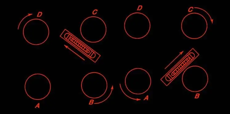
Plane table surveying can be performed using one of several methods, which include radiation, traversing, intersection, and resection. The choice
Methods of Plane Table Surveying Read More »