

Types of Curves in Surveying
In transportation engineering, curves are essential elements that form the backbone of railway and highway alignments. A curve represents a […]
Types of Curves in Surveying Read More »
In transportation engineering, curves are essential elements that form the backbone of railway and highway alignments. A curve represents a […]
Types of Curves in Surveying Read More »

The Tangential Method of Tacheometry The tangential method in tacheometry is used to calculate horizontal and vertical distances from the
Tangential Method of Tacheometry Read More »
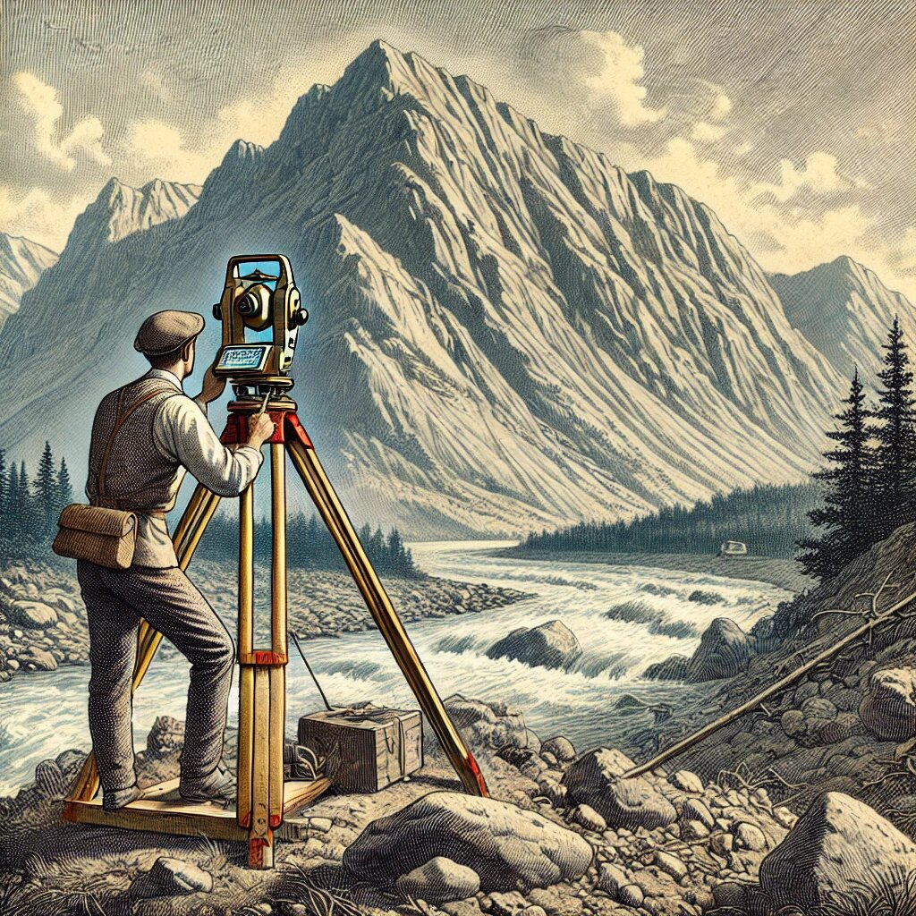
Introduction Tacheometry is a specialized field within surveying that enables the determination of both horizontal and vertical distances between stations
Tacheometric Surveying: Principle, Systems and Instrument Used Read More »

Errors in theodolite surveying can be categorized into three main groups: i. Instrument errors.ii. Personal errors.iii. Natural errors. i. Instrumental
Errors in Theodolite Surveying Read More »

The use of theodolites is essential in various surveying tasks due to their precision in measuring angles and distances. These
Uses of Theodolite Read More »

The theodolite requires two types of adjustments to ensure accuracy during measurements: Temporary Adjustments Permanent Adjustments 1. Temporary Adjustments Temporary
Adjustments of a Theodolite Read More »

Components of Transit Theodolite A transit theodolite is composed of several key components that work together to ensure precise angular
Components of Theodolite Read More »

Introduction A theodolite is an instrument designed for the precise measurement of horizontal and vertical angles. It was initially developed
Types of Theodolite Read More »

Interpolation of contours refers to the process of proportionately drawing contour lines between plotted ground points or between existing contour
Interpolation of Contours Read More »

Fieldwork for contouring can be performed in different ways, depending on the instruments used. The methods for identifying contours are
Methods of Contouring Read More »

Contours are an essential element in topographic mapping, providing a visual representation of the Earth’s three-dimensional surface on a two-dimensional
Characteristics of Contours Read More »

Contour A contour is an imaginary line that connects points of equal elevation on the ground. It serves as a
Contour Lines in Surveying Read More »